 To help authorities overcome their immediate and longer-term traffic management challenges, Hikvision has created the Traffic Visualization Dashboard. This integrates data from roadside cameras and sensors, and displays it to traffic management teams via an immersive, map-based interface.
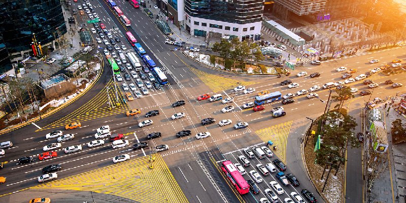
With options to overlay historical and real-time traffic data on either a 2D or 3D map, it gives traffic managers fast, easy access to the information they need. The dashboard can also be customized quickly and easily, allowing teams to focus on the traffic information that is most important to them – from vehicle counting and congestion information, to traffic incidents and violations – such as drivers who break the speed limit, drive without their seat belts fastened, or run red lights
Optimized traffic management decisions. The Hikvision solution combines historical and real-time traffic data to help managers understand key traffic trends, helping them to make better planning decisions. In particular, the Traffic Visualization Dashboard can support better decisions on which kinds of traffic management policies and solutions to implement, from signal optimization, to access management solutions and congestion charging schemes.
By helping traffic managers to make better long-term planning decisions, the Traffic Visualization Dashboard can help to tackle traffic issues such as traffic congestion and other negative impacts of excessive traffic.
Key features of the Hikvision Traffic Visualization Dashboard
- Immersive 2D or 3D map-based interface for traffic insights ‘at a glance’
- Simple configuration for specific use cases – including congestion management and traffic violation management
Real-time incident responses and improved traffic violation management
Along with helping to inform long-term traffic planning, the solution also helps teams to identify and respond to traffic incidents and violations in near-real-time. This helps to keep key corridors on the road network as clear as possible, helping to speed up journey times for road users.
The solution provides 2D and 3D map options that model junctions and traffic corridors accurately, and to scale. The map-based interface provides a fully immersive experience that allows traffic and incident managers to quickly spot congestion and to detect traffic incidents and violations in different areas of the city – all in a matter of seconds.